Log in
All resources
Create a design
41,226 Free Images of 1899 Maps
charts and maps of the royal museums greenwich
1590 maps
augustine ryther
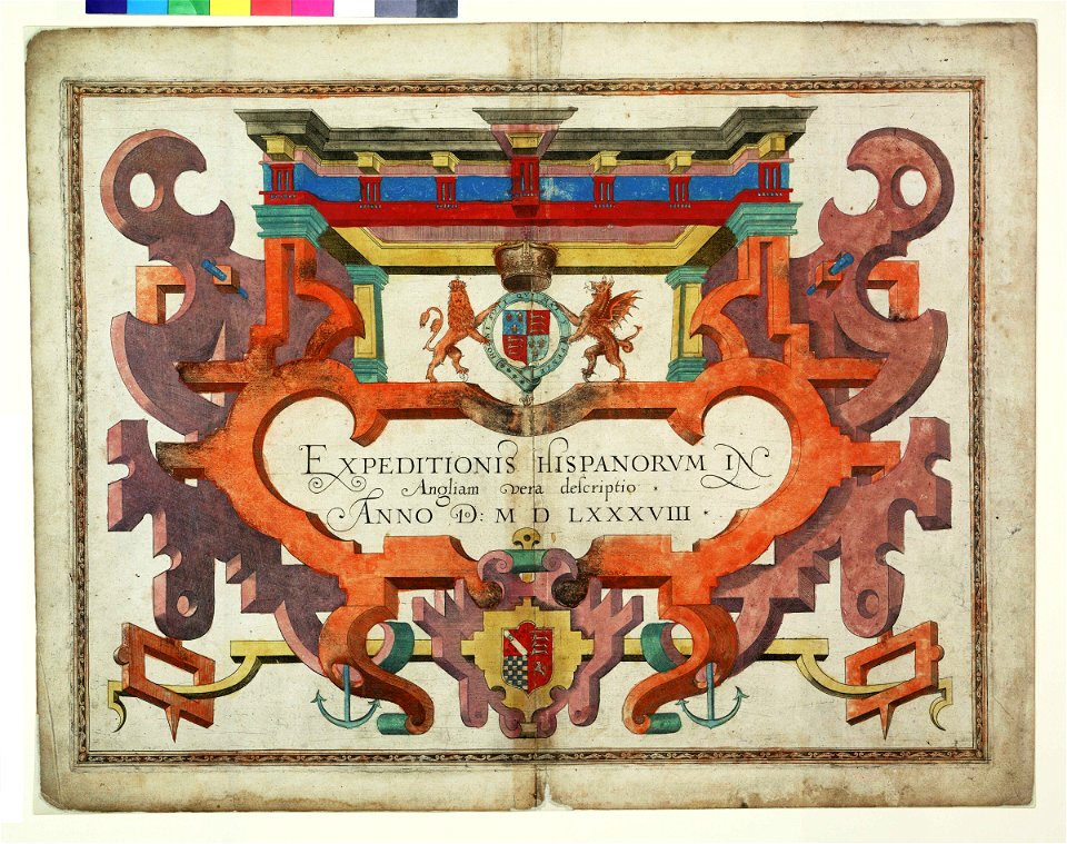
expeditionis hispanorum in angliam vera descriptio anno domini mdlxxxviii
maps made in the 17th century
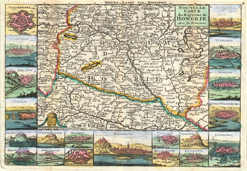
maps made in the 18th century
atlantis magni tomus tertius (biblioteca comunale di trento)
artworks without wikidata item
artworks with known accession number
cc-zero
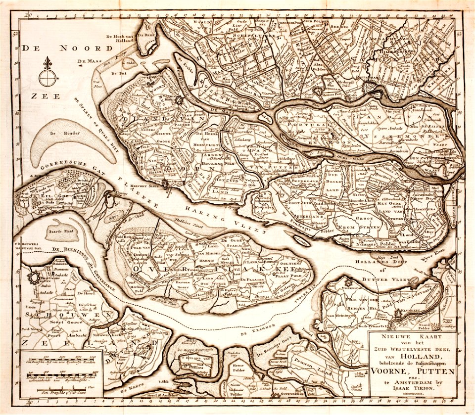
old maps of zeeland
old maps of holland
maps made in the 17th century
jan janssonius
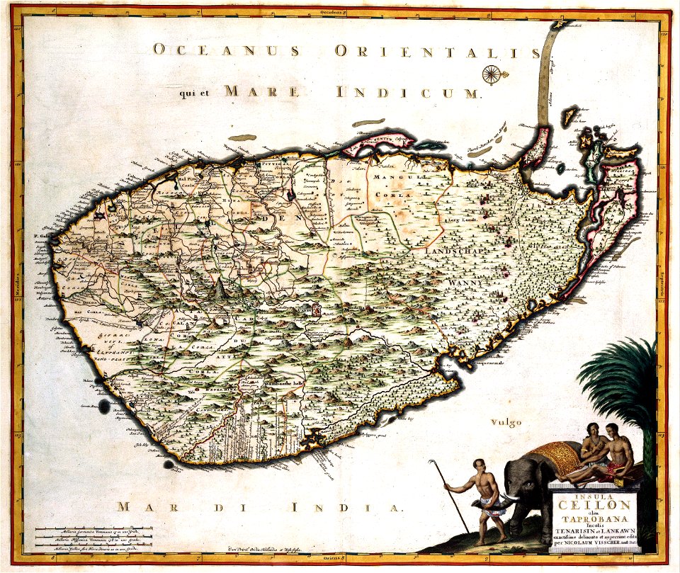
old maps of sri lanka
koral
engravings after peter paul rubens
harvard university
maps made in the 18th century
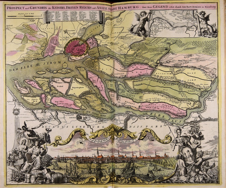
johann baptist homann
maps made in the 16th century
old maps of lombardy
atlantis magni tomus tertius (biblioteca comunale di trento)
maps made in the 17th century
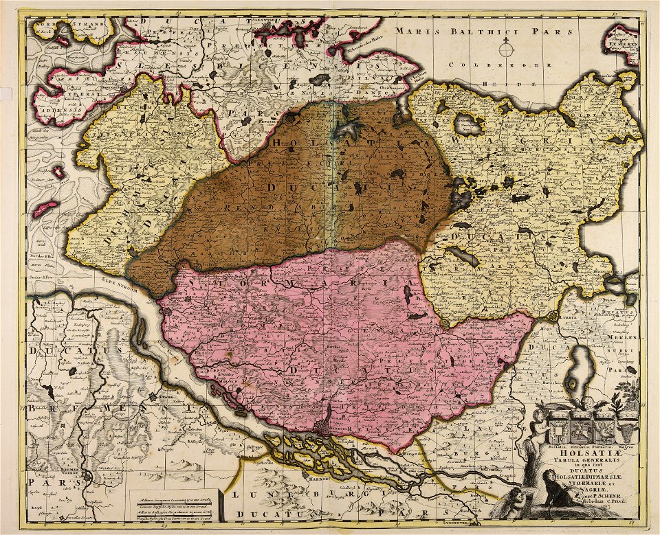
18th-century maps of schleswig-holstein
maps by pieter schenk (i)
maps made in the 17th century
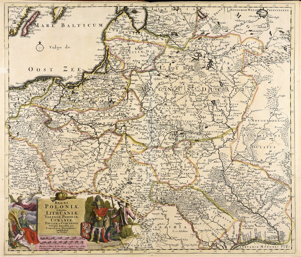
cornelis danckerts (i)
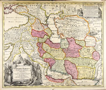
maps made in the 18th century
johann baptist homann
maps made in the 18th century
johann baptist homann
maps made in the 18th century
johann baptist homann
maps made in the 18th century
johann baptist homann
old maps of the world
1880 maps
maps made in the 18th century
johann baptist homann
old maps of nuremberg
johann baptist homann
charts and maps of the royal museums greenwich
1590 maps
maps made in the 17th century
old celestial maps
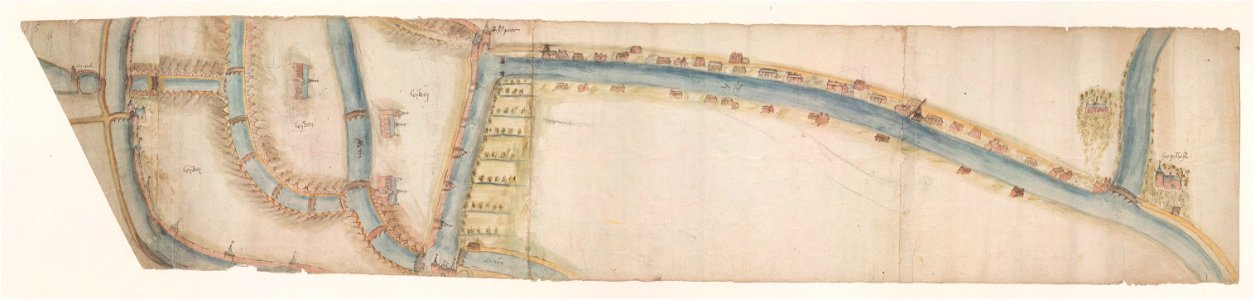
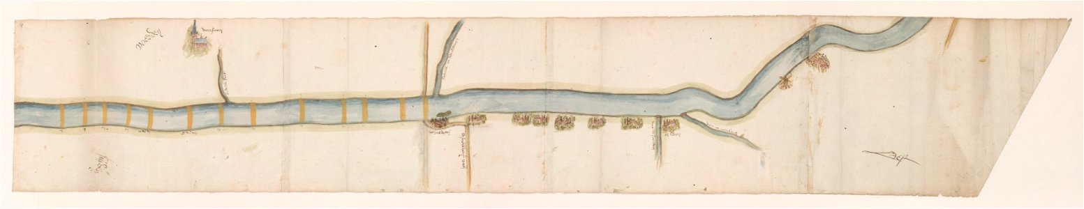
maps of waterways in the netherlands
leiden
maps of waterways in the netherlands
voorschoten
atlantis magni tomus quintus (biblioteca comunale di trento)
maps made in the 17th century
maps made in the 18th century
maps by pieter schenk (i)
maps made in the 18th century
gerard valck
images from bau- und kunstdenkmäler des regierungsbezirks wiesbaden (volume 5)
german-language maps showing history of europe
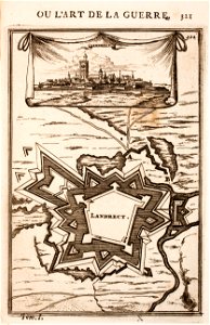
old maps of landrecies
pentagon
gerard valck
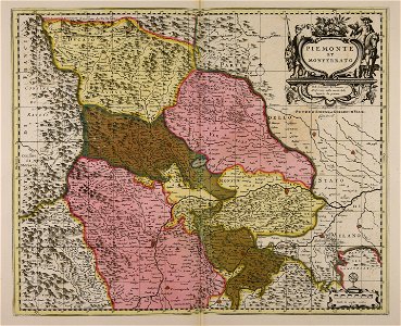
piedmont
maps made in the 17th century
jan janssonius
charts and maps of the royal museums greenwich
1590 maps
charts and maps of the royal museums greenwich
1590 maps
charts and maps of the royal museums greenwich
1590 maps
charts and maps of the royal museums greenwich
1590 maps
charts and maps of the royal museums greenwich
1590 maps
charts and maps of the royal museums greenwich
1590 maps
charts and maps of the royal museums greenwich
1590 maps
charts and maps of the royal museums greenwich
1590 maps
charts and maps of the royal museums greenwich
1590 maps
maps made in the 17th century
jan janssonius
maps made in the 17th century
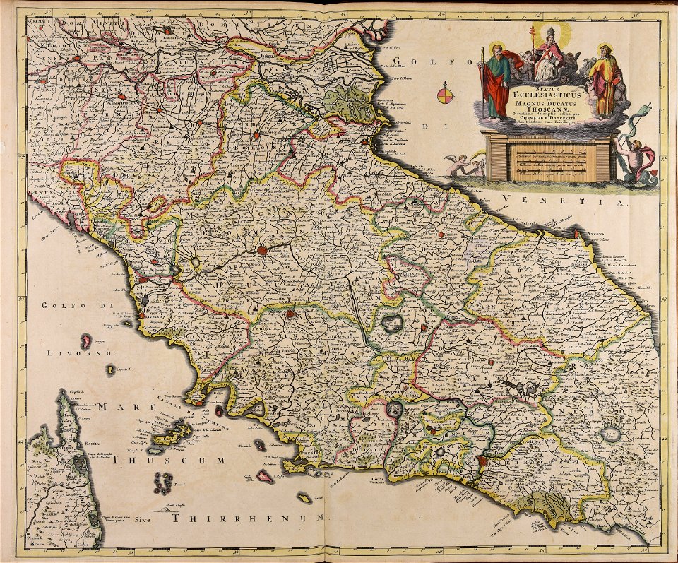
old maps of italy
charts and maps of the royal museums greenwich
1590 maps
charts and maps of the royal museums greenwich
1590 maps
charts and maps of the royal museums greenwich
1590 maps
charts and maps of the royal museums greenwich
1590 maps
charts and maps of the royal museums greenwich
1590 maps
russian-language maps
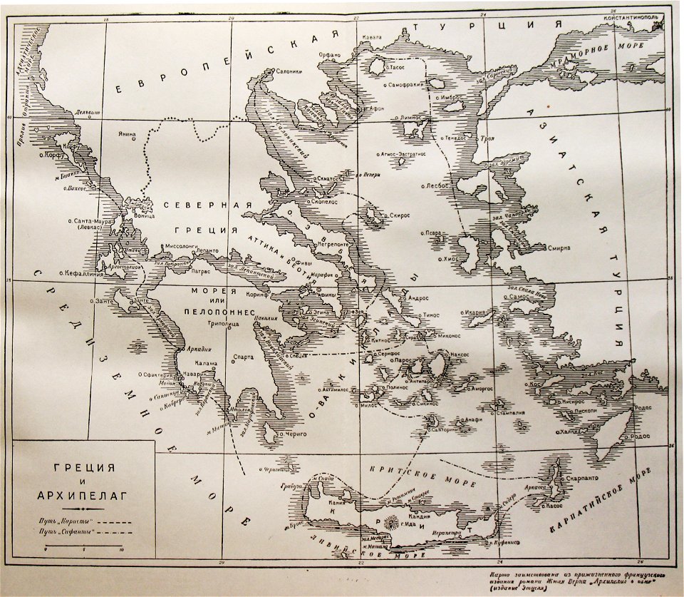
old maps of greece
old maps of the sea of azov
1856 maps
charts and maps of the royal museums greenwich
1590 maps
maps made in the 18th century
gerard valck
maps made in the 17th century
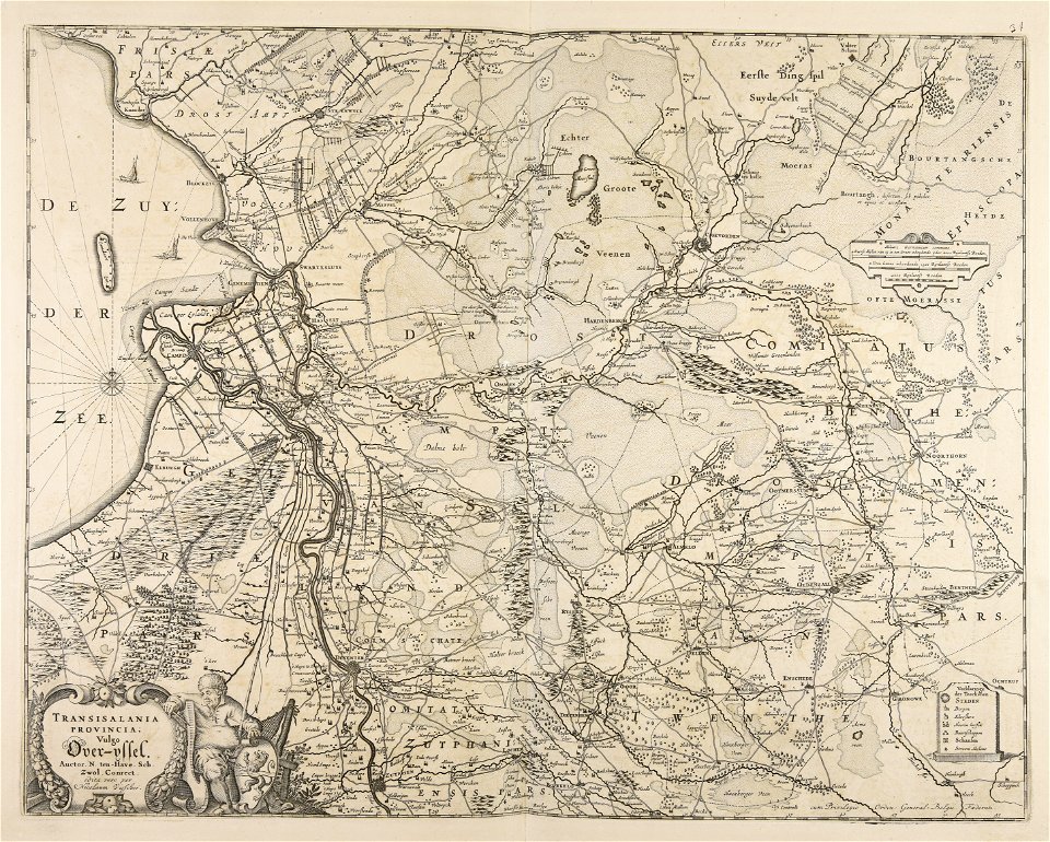
old maps of overijssel
charts and maps of the royal museums greenwich
1590 maps
volume 1 of le tour du monde
maps of the bay of kotor
maps made in the 17th century
nicolaes visscher ii
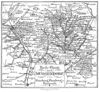
collections of staatsbibliothek bamberg
franconian switzerland
collections of staatsbibliothek bamberg
franconian switzerland
atlantis magni tomus tertius (biblioteca comunale di trento)
maps made in the 17th century
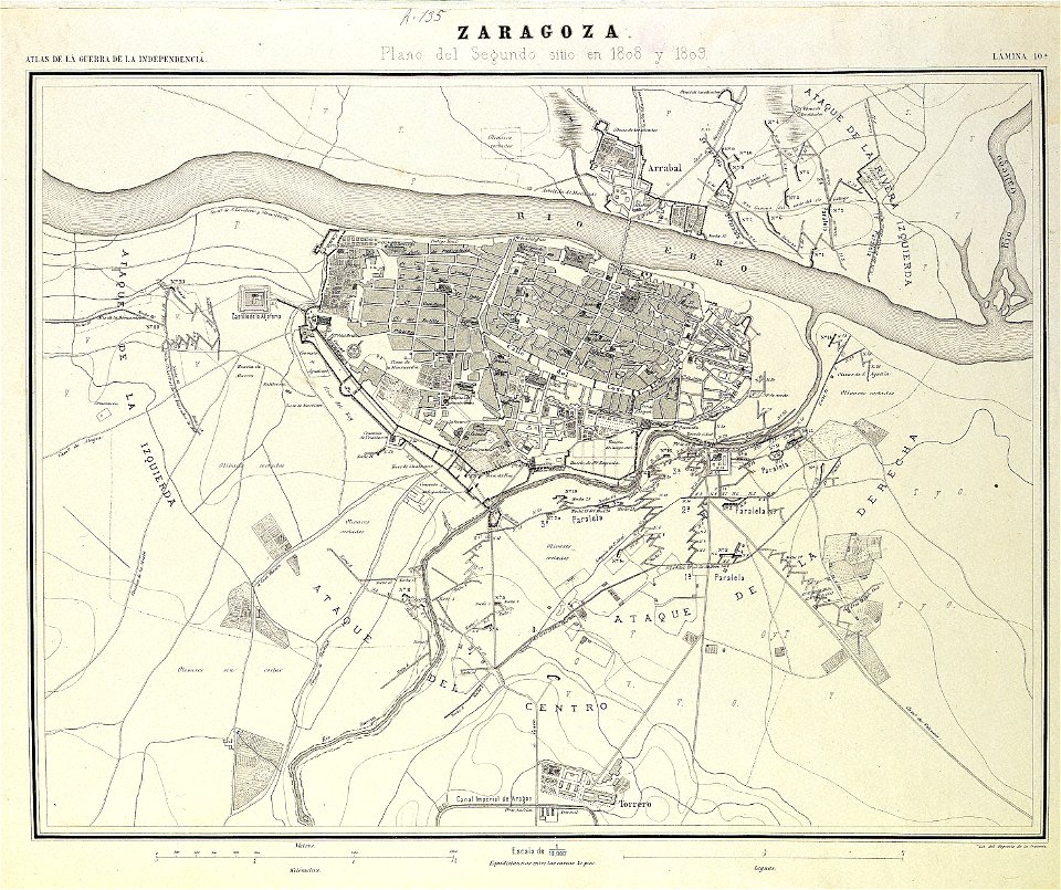
second siege of zaragoza
1868
university of toronto wenceslas hollar digital collection
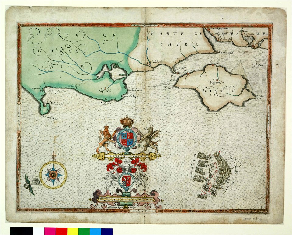
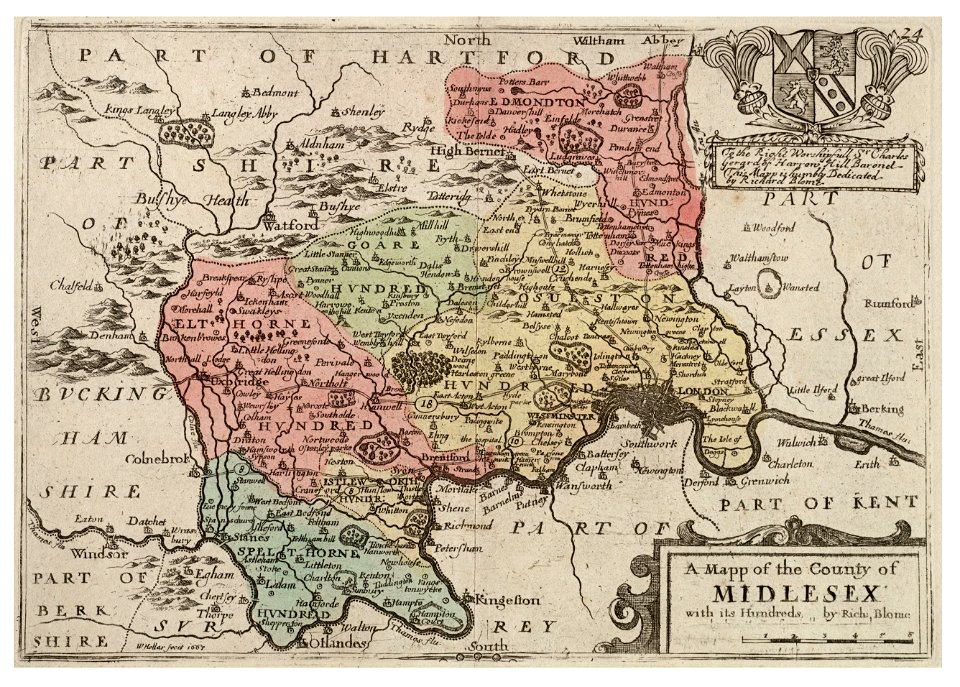
surrey
atlas van der hagen (volume 4)
maps with cartouches
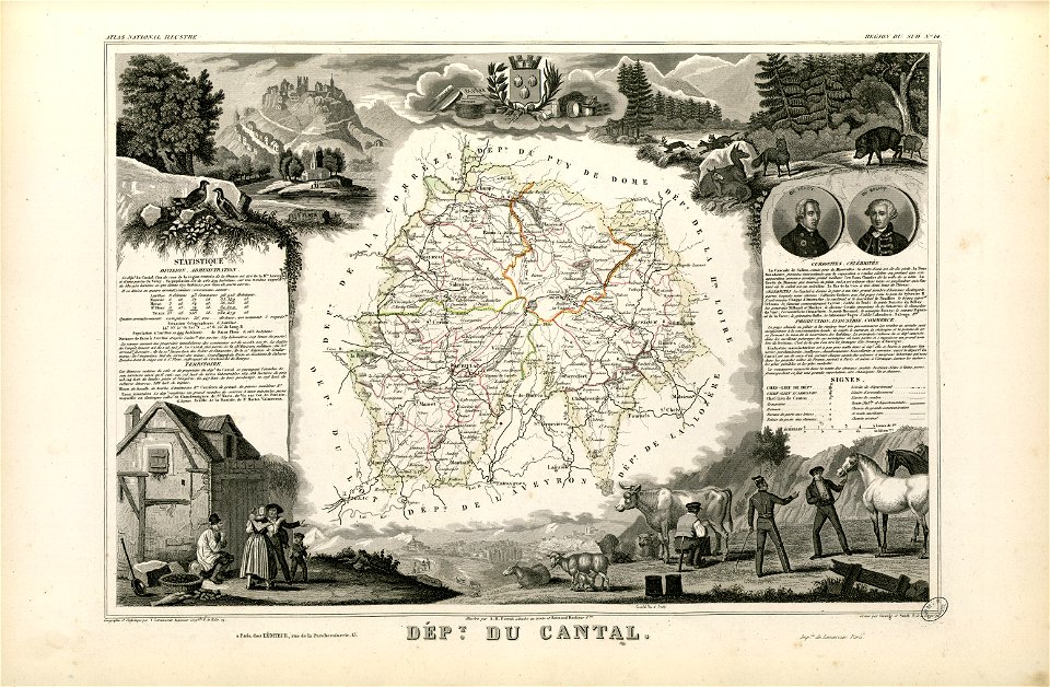
coats of arms of cities in cantal
pierre laurent buirette de belloy
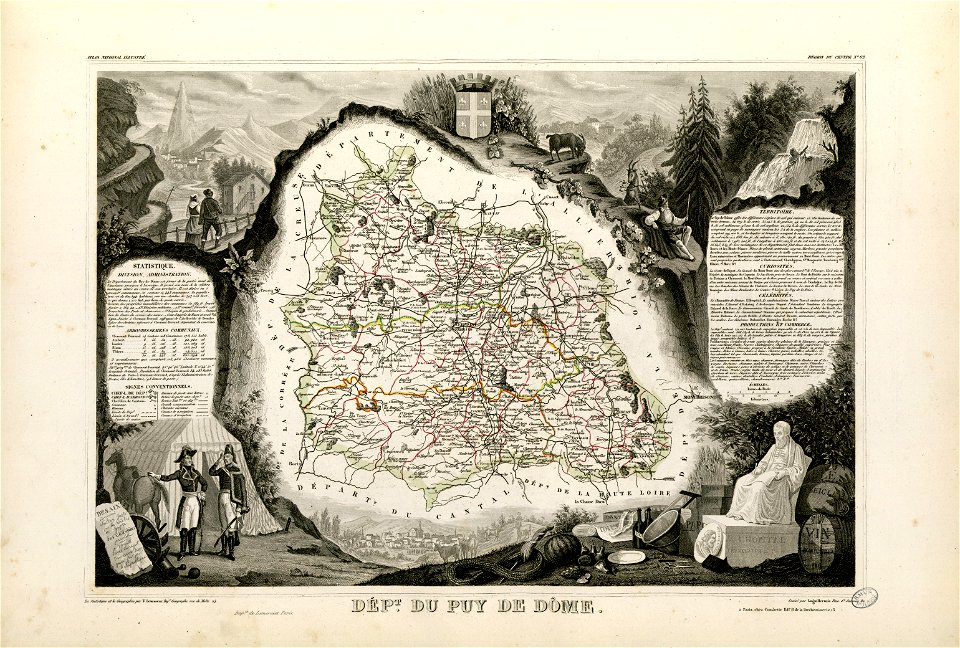
coats of arms of cities in puy-de-dôme
vercingetorix
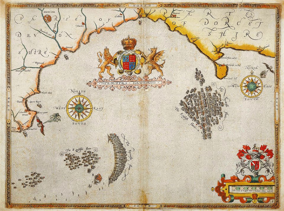
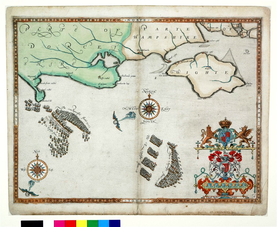
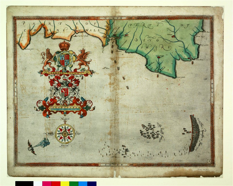
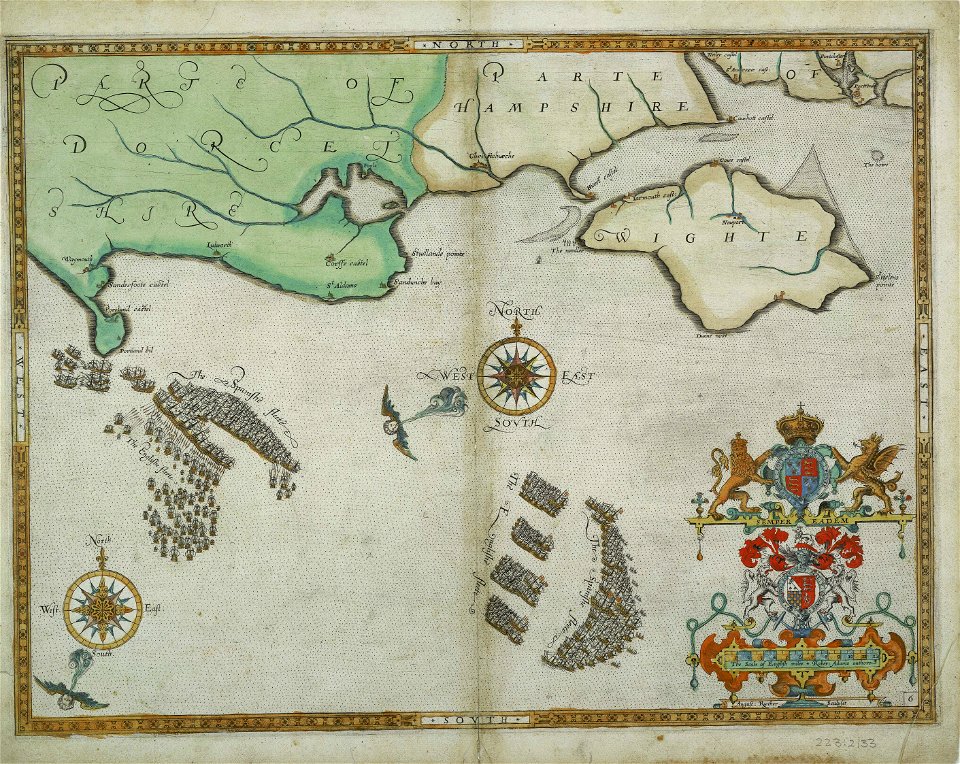
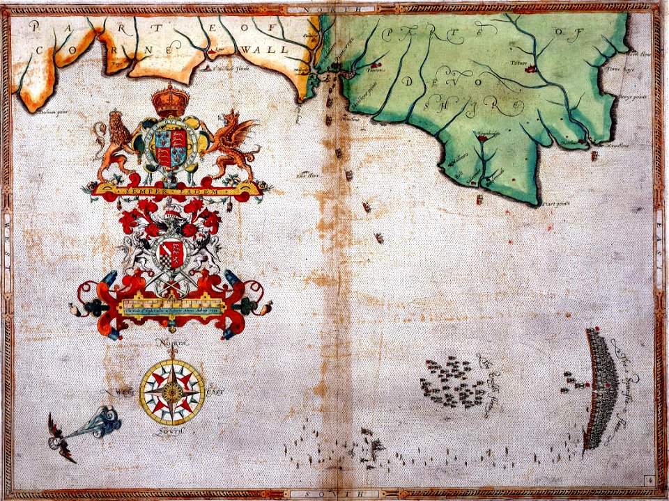
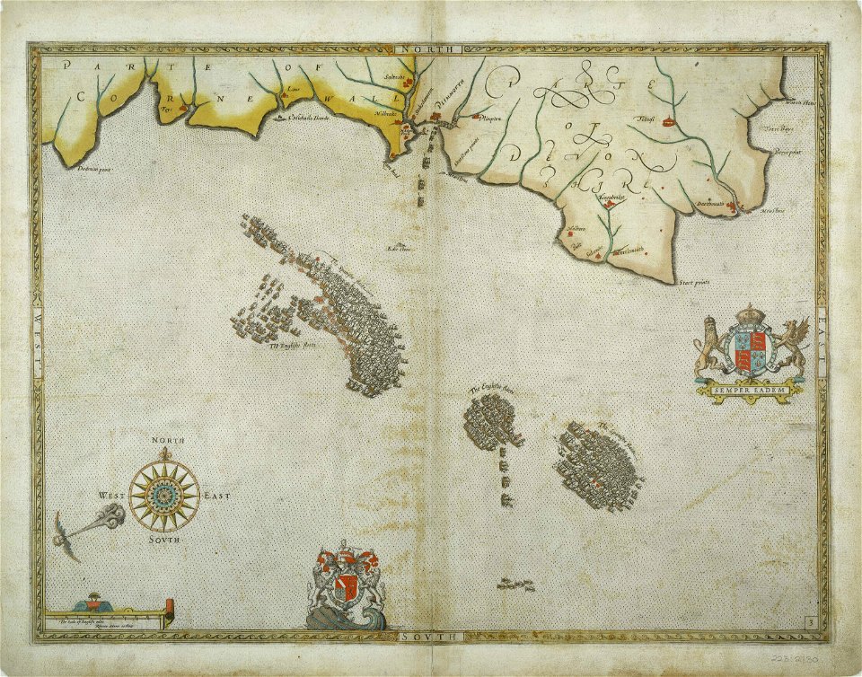
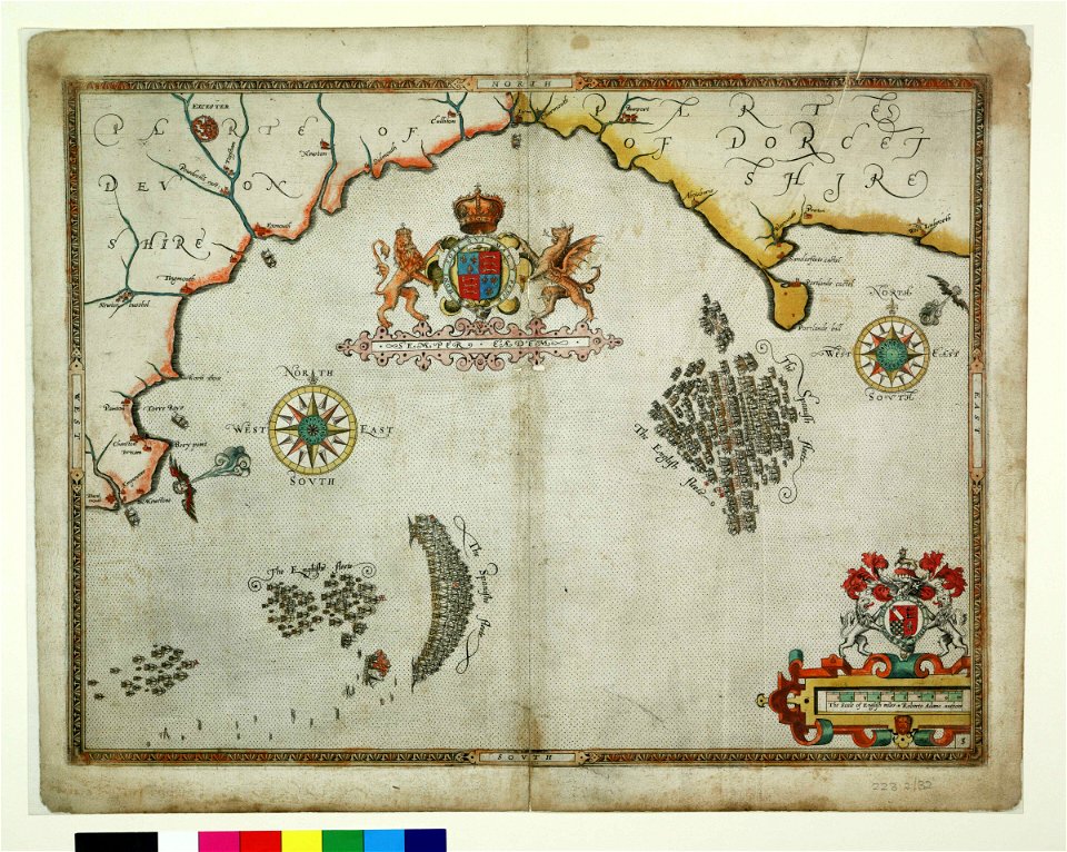
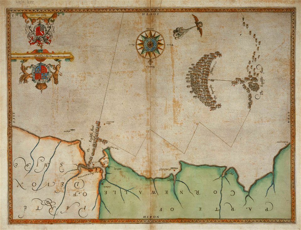
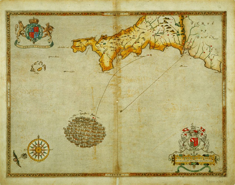
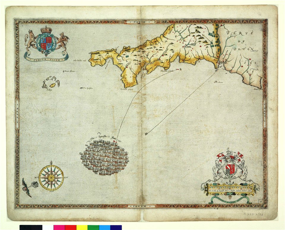
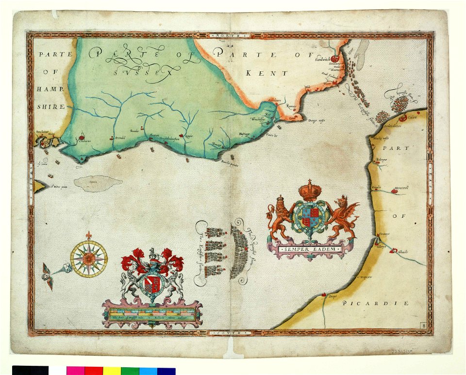
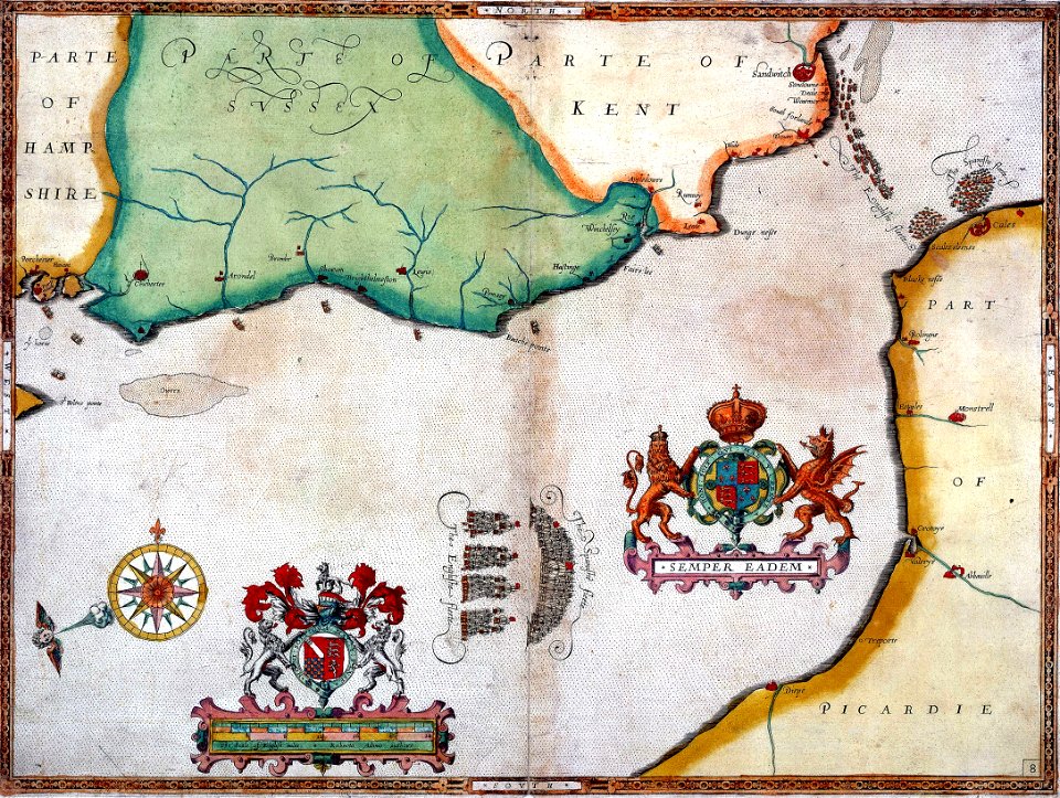
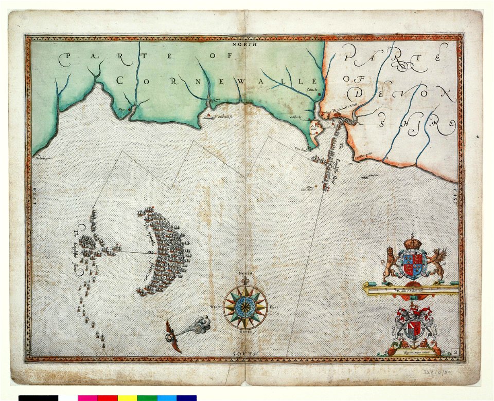
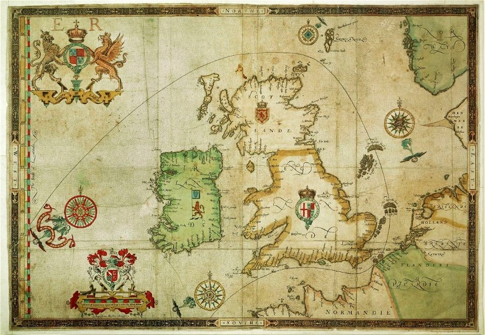
the track of the armada around britain and ireland
london
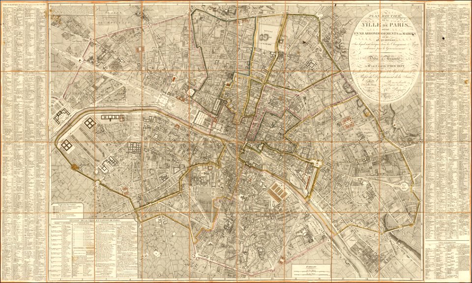
maps of paris from the barry lawrence ruderman antique maps inc.
1814 in paris
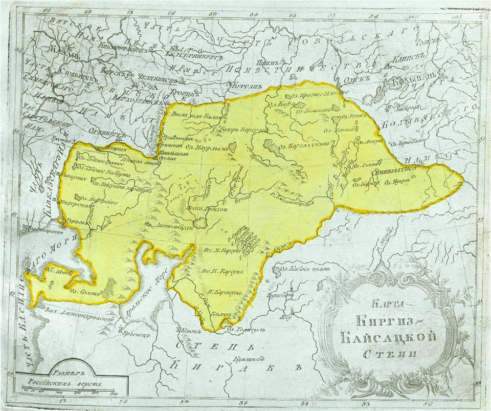
maps of central asia
maps of kazakhstan
fortifications in the netherlands
history of tiel
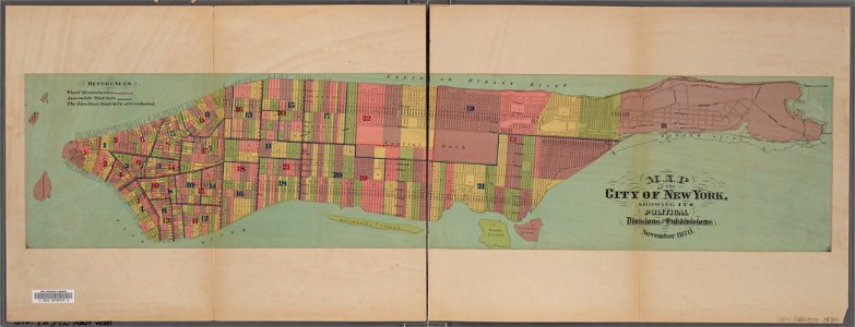
manual of the corporation of the city of new york (1870)
new york city
maps of thaumasia quadrangle
mars topography
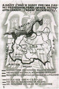
greater poland
map postcards
artworks with known accession number
artworks without wikidata item
artworks with known accession number
artworks without wikidata item
artworks with known accession number
artworks without wikidata item
artworks with known accession number
artworks without wikidata item
artworks with known accession number
artworks without wikidata item
artworks with known accession number
artworks without wikidata item
artworks with known accession number
artworks without wikidata item
artworks with known accession number
artworks without wikidata item
artworks with known accession number
artworks without wikidata item
artworks with known accession number
artworks without wikidata item
19th-century paintings of people with dogs
perdix perdix in art
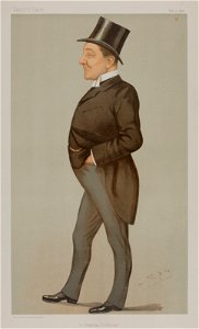
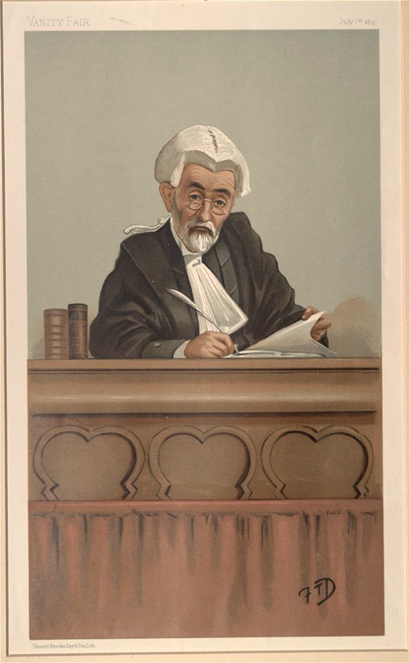
vanity fair
1896
ermine (clothing) in art
leslie ward
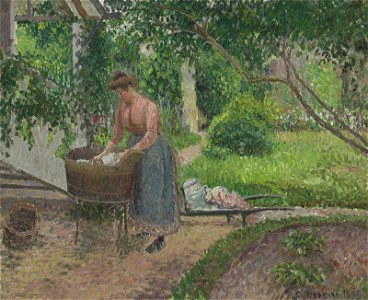
peasant women in art
laundry in art
paintings of people in nature
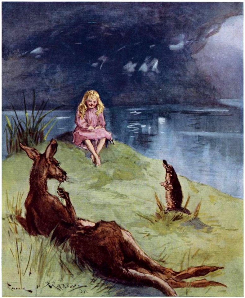
book illustration
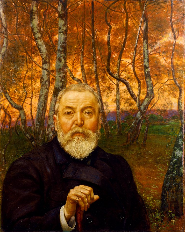
19th-century self-portrait paintings of men
oil paintings of people
1928 deaths
1843 births
1918 deaths
1847 births
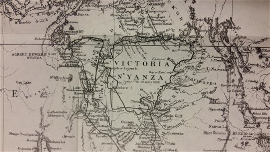
through the dark continent
lake victoria
maps with cartouches
copper engraving
french-language maps
johannes ratelband
utrecht in the 17th century
maps
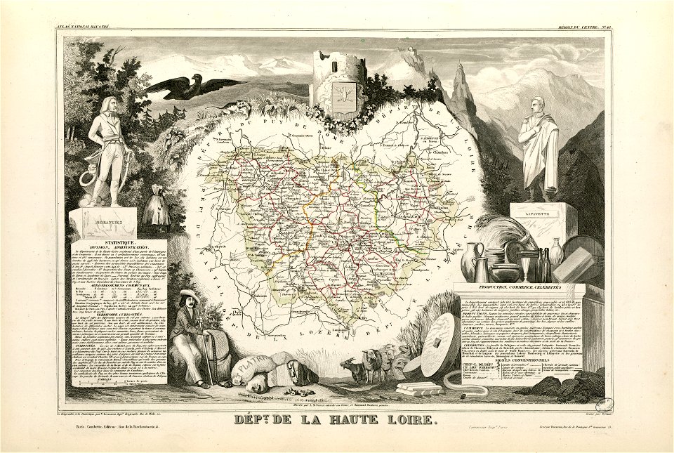
coats of arms of cities in haute-loire
marquis de la fayette
jean françois paul de gondi de retz
jean-baptiste colbert
old maps of ardennes (department)
henri de la tour d'auvergne
1696 in bretagne
1696 maps
dutch 17th-century prints in the rijksmuseum amsterdam
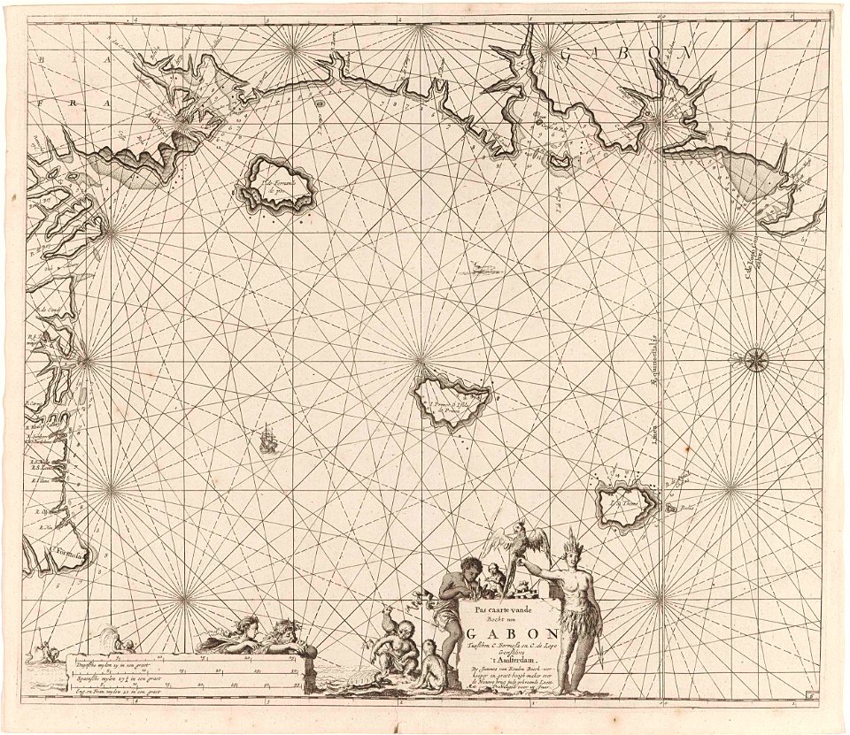
old maps of africa
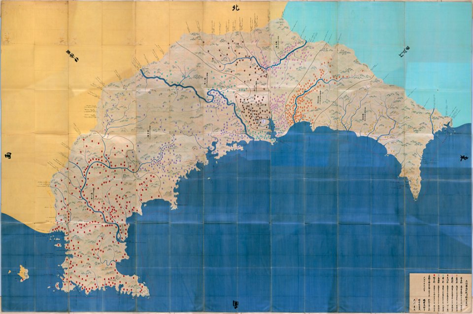
important cultural property of japan in tokyo
maps in the national archives of japan
important cultural property of japan in tokyo
maps in the national archives of japan
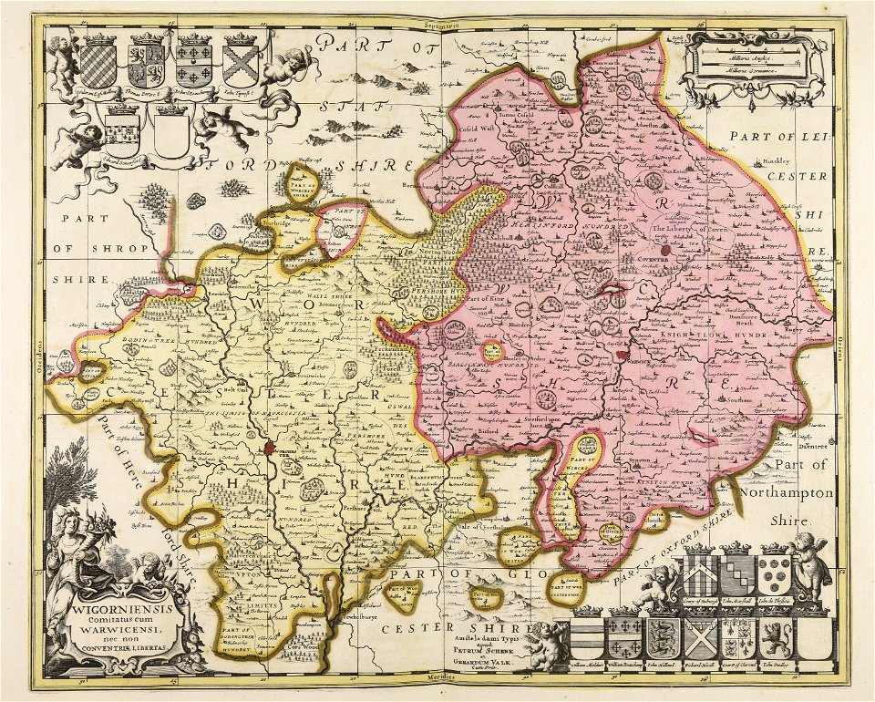
maps made in the 18th century
maps by pieter schenk (i)
atlantis magni tomus tertius (biblioteca comunale di trento)
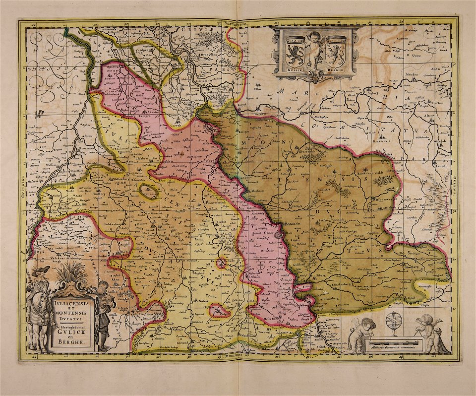
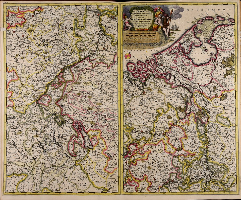
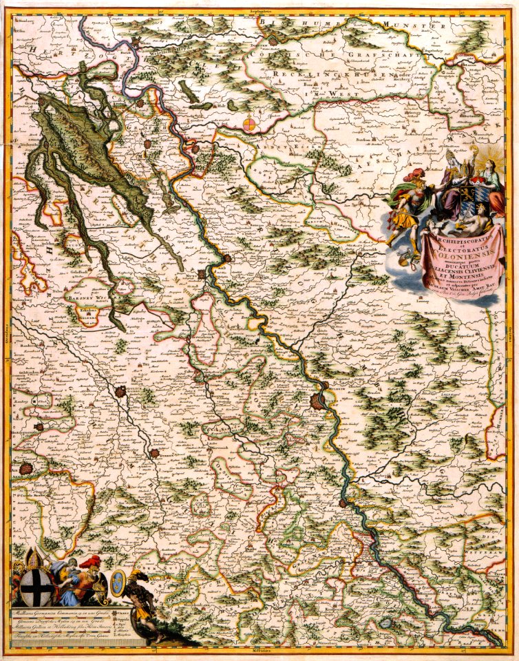
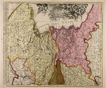
maps of territories in the electoral rhenish circle
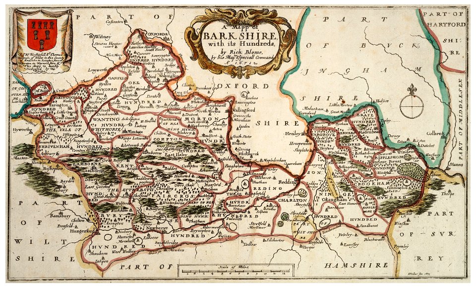
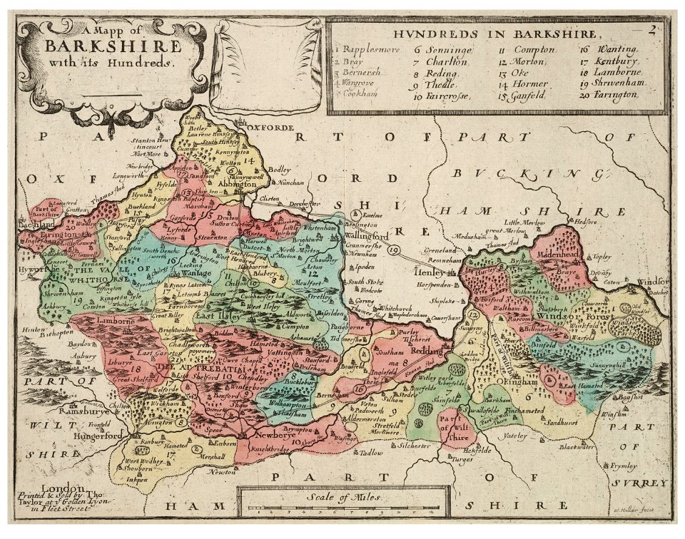
university of toronto wenceslas hollar digital collection
old county maps of berkshire
university of toronto wenceslas hollar digital collection
old county maps of berkshire
maps made in the 17th century
gerard valck
8701 - 8800 of 41,226
Next page
/ 413